Difference between revisions of "Urban Strategy"
m (Text replace - "= MAP =" to "") |
|||
| Line 13: | Line 13: | ||
{{references}} |
{{references}} |
||
= MAP = |
|||
<websiteFrame> |
<websiteFrame> |
||
website=http://securipedia.eu/cool/index.php?wiki=securipedia.eu&concept=Urban strategy |
website=http://securipedia.eu/cool/index.php?wiki=securipedia.eu&concept=Urban strategy |
||
Revision as of 16:33, 30 January 2013
Urban Strategy
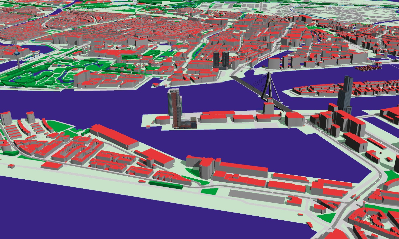
Urban Strategy is a calculation model developed by TNO for interactive planning[1][2]. Urban Strategy enables the user to realise comprehensive and well considered solutions to complex planning problems where there is often a wide variety or even conflict of interests.
What is it?
It uses up-to-date digital maps, traffic flows and demographic data and allows the user to see the effect of modifications in the urban plane, such as the laying or widening of a road or the construction of an office building, will have on, for example, the traffic intensity, air quality, noise pollution and external security.
Who can use it?
Urban Strategy helps administrators, planners, project developers, housing associations, consultants, (landscape)architects, urban developers and traffic managers to explore new situations, evaluate existing situations and find comprehensive solutions to complex bottlenecks. Urban Strategy makes evident why one solution is better than another, and therefore helps to present the plans both clearly and convincingly.
Footnotes and references
<websiteFrame>
website=http://securipedia.eu/cool/index.php?wiki=securipedia.eu&concept=Urban strategy
height=1023
width=100%
border=0
scroll=auto
align=middle
</websiteFrame>
<headertabs/>
